Section 11: Troubridge, Rainy Day Lake, Saltery Bay & Fairview Bay
Mount Troubridge Hut
Kilometre 158
Sleeps 8
5 Facilities
About This Hut
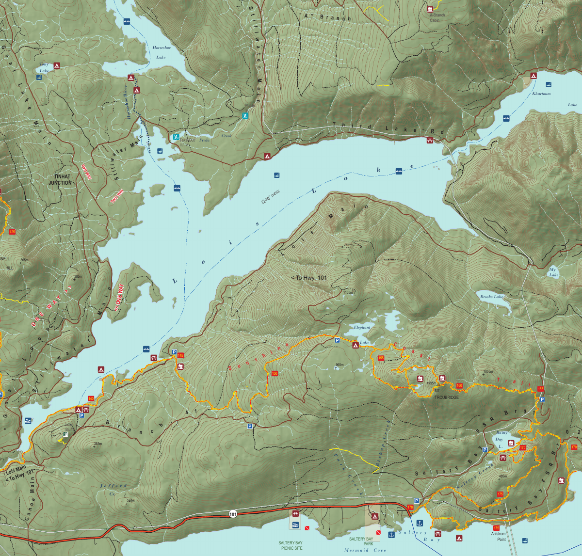
Mount Troubridge Hut is a masterwork Douglas-fir log cabin situated at the highest point of the Sunshine Coast Trail (1,300m elevation). The hut lies in a bowl beside Jocelyn Pond, just below the summit of Mount Troubridge. While the hut itself is nestled in forest without expansive views, the best vistas can be found beyond the hut around the 158.8 km mark. This fully enclosed winterised shelter provides excellent protection from the elements at this high-elevation location.
Key Features
- •Highest point on SCT at 1,300m elevation
- •Masterwork Douglas-fir log cabin construction
- •Located in bowl beside Jocelyn Pond
- •Winterised with pellet stove
- •Best views at 158.8 km mark beyond hut
- •Mount Troubridge Emergency Shelter at 159 km
How to Get There
- 1From Golden Stanley Hut, continue south on the SCT
- 2Hike approximately 13 km
- 3Climb to Mount Troubridge summit area (1,300m)
- 4Descend slightly into bowl beside Jocelyn Pond
- 5Hut is located at the 158 km mark
- 6Continue to 158.8 km for best summit views
Trail Map
Click the map image below to download the complete section map PDF with detailed trail routes, elevation profiles, and landmarks.
Download Full Map
Quick Info
Location
Kilometre 158
Capacity
8 people
Trail Section
Section 11
Troubridge, Rainy Day Lake, Saltery Bay & Fairview Bay
Facilities
- Pellet stove
- Outhouse
- Picnic table
- Food cache
- Fire pit
Water Source
Jocelyn Pond